11:03 PM
LOCATIONS
► THE CONTAINMENT ZONE
FULL MAP

( click image to see full size! )
( see also: map without labels + map showing old cz boundaries + lake map + town map )
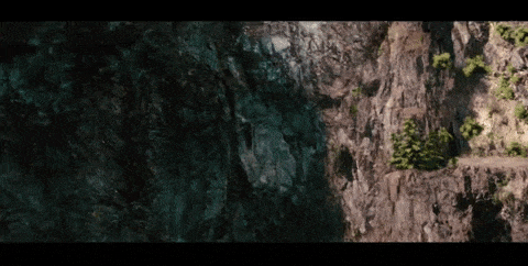
- THE CONTAINMENT ZONE is the name the Technicians use to refer to the area in which characters here in Vestige are trapped. It covers about 37.5 square miles, in a rectangle approximately 5 miles tall and 7.5 miles wide.
Surrounding the containment zone is an invisible barrier which is functionally impenetrable. It is thus far undetermined if the barrier is a dome or simply a fence of a specified height. Anytime something within the containment zone comes in contact with the barrier, a honeycomb-shaped pattern ripples out from the point of contact. As a general rule, the barrier gives back what it gets: Place your palm on it and you'll receive a faint uncomfortable buzz. Run headlong into it, and it will ricochet you multiple yards back into the woods.
While most of the containment zone is covered in forest, there are six distinct key areas within the containment zone, as marked on the map in the drop-down above. The segments below will describe each zone generally + offer some key locations, marked as letters on the map.